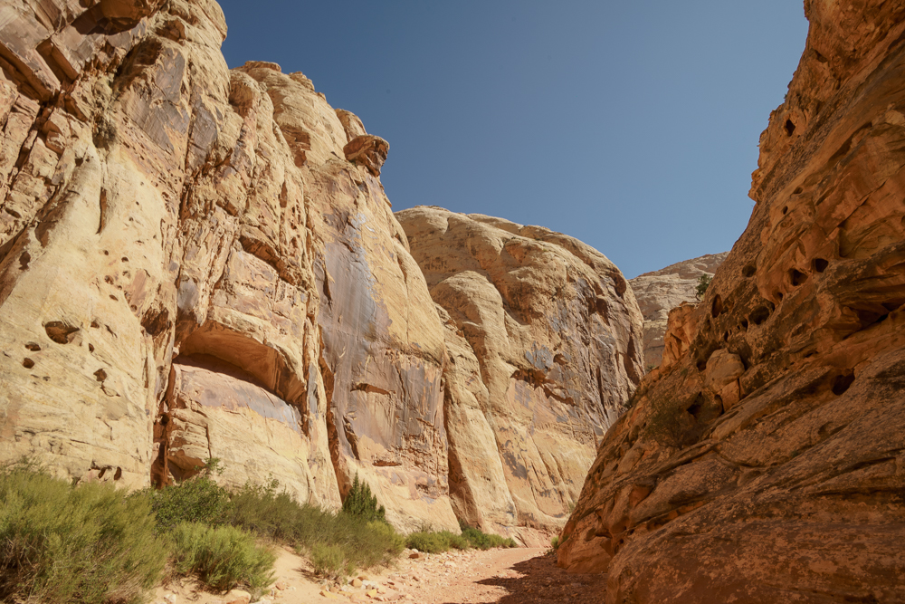
The Grand Wash Trail cuts through the Waterpocket Fold in Capitol Reef, running east to west from the Fremont River to Scenic Drive, one of only 6 drainage channels cutting across the whole 100 miles of the Fold. It is 2½ miles long but one way only, unless you have a car at both ends.
The floor of the canyon was damp when we entered it, a reminder that this walk is best not done in stormy weather, when you might meet a torrent. In many places the sandstone was peppered with holes caused when sand grains or minerals are washed out of the rocks by water.
We walked a little over a mile until we got to the end of a section called the narrows, where the floor shrinks to only 16ft. The walls of the canyon rise up sheer for 500 ft and it was quite dark and oppressive.
We met few people on our hike. A group with a leader, two couples, and two boys in their late teens or early twenties, who were listening to the bible on some audio system and commenting on the words. Maybe descendants of the original Mormons from these parts.
The sky remained a cloudless blue which contrasted so well with the warm rock.
 |
| The start of the walk |
 |
| Erosion forming a honeycomb |
 |
| Streaks of metallic oxides on the face of the rock, occurring especially at run off points. Known as "desert varnish", the oxide is stuck to the wall by tiny bacteria. |
 |
| In the narrows |
 |
| White Navajo sandstone rising up behind |


Comments
Post a Comment