Posts

Showing posts from June, 2018

Glorious Utah, first light and goodbye to Bryce

Image
We packed up and left the motel early so that we could get to Inspiration Point as the sun rose. The sun bloomed on the Canyon, lighting first the tops of the hoodoos, their limestone glowing like alabaster. before finding the lower redder parts. They stood like soldiers guarding the walls of their castle, or more prosaically molars! Then it was time to move on... to Zion.

Glorious Utah, don't take my Kodachrome away

Image
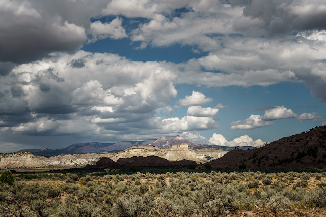
As we were on the road to Tropic we decided to carry on, through the little town surrounded by green pasture and out on Highway 12 until we came to a signpost to Kodachrome Basin State Park. This looked sufficiently inviting, so we took the detour. Kodachrome Basin was named by the National Geographic Society and with good reason. There are red sandstone cliffs and strange towers known as sedimentary pipes, the origin of which is uncertain. The place is classified as semi desert and is home to rattle snakes, coyotes and mountain lions. Exciting. Kodachrome is a lot lower than Bryce and I certainly felt the heat. There are several paths that you can follow. We set out to see the rock arch first and then went to see a couple of the pipes. After we had walked for a while we saw a storm was brewing over the mountains and so we made a dash back to the car before we got soaked. Although it never really came to anything. We s

Glorious Utah, the edge of Bryce

Image
After the Bryce experience Mike and I were looking for something quieter and more remote. So we left the main tourist area of the Canyon and drove down the road that leads to Tropic and eventually Escalante National Monument, to see the very tail end of Bryce, which is out of the main park. A small parking lot marks the start of the Mossy Cave Trail. Here the high ground has pinnacles but the lower part is smoother as it has been eroded by a stream running down from an artificial water course, the Tropic Ditch hewn by the early Mormon settlers to attempt some sort of irrigation. They were bringing water from the East Sevier River on the Paunsaugunt Plateau, to Tropic a valley town which has its own watercourse, the Paria River, which does not run all year. It took them 3 years to carve out the ditch and even then had to contend with blistering summers and long icy winters as well as flash floods and poison weeds that killed the cattle. There is a small waterfall where the stream run

Glorious Utah, a bristlecone walk and Inspiration Point

Image
Mike and I had decided to join another ranger led walk which starts at Rainbow Point and leads round a short trail, specifically to look at the bristlecone pine trees. These iconic pines are extraordinarily long lived, the Methuselah tree in the White Mountains of California held the record for the oldest living thing until only recently. In Bryce, as well as most areas with any human population, forest fires are normally extinguished. Small, natural, forest fires are essential for a healthy forest. They clear out the brush giving space to the trees which can survive smaller burns, and also aid the seed germination of some species. Unfortunately the lack of a normal burn means that when the fires occur there is a large accumulation of brush which leads to a hotter fire which destroys the trees. We had seen this when we first came to Bryce and noticed a large area of dead burnt trees. In Bryce they are now experimenting with lighting smaller burns to stop the huge conflagrations that