Posts

Showing posts with the label Ardnamurchan

Ten days on Zuza - 16th June - more time on Eigg

Image
We had another good night on Zuza. If anyone suffers from insomnia I can greatly recommend living on a yacht. Masses of fresh air and the gentle rocking motion certainly worked for me. Although I am not sure that any weather but the windless heat wave we were experiencing would have had the same effect. We had noticed a tern colony on an island opposite the bay where we were moored. In the morning Neil took a few of us in the tender over for a closer look. We could not really get as close as I would have liked but here are some tern pictures. I am not sure if they are common or Arctic terns, both species are very similar. They were wheeling over the rocks where there nests must have been but did not seem to find us too threatening, such graceful birds. A rock? pipet An oystercatcher We then went back to the main island and this time walked west from the pier over a headland to try and get a closer look at the caves on the southern coast. Again cliffs stopped us getting down to them but...

Road to the isles, 6th July, Glendrian abandoned village in infrared

Image
As promised! Here are the pictures I took of Glendrian, the abandoned village in Ardnamurchan. The last inhabitants left in the 1940's and it lies on a footpath around a mile from the road to Sanna. The pictures were taken with my Nikon D3200, which has been converted to infrared using a 720nm filter. They have been left in their 'native' colour.

Road to the isles, 6th July, an abandoned village

Image
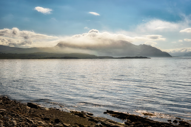
Waking up in the morning on our campsite in Kilchoan, I walked down to the shore to see cloud covering the tip of the coast. The plan for the morning was to visit the deserted village at Glendrian which lies about a mile across a footpath from the road. Just the right distance for Hettie the dog to manage.  We took the road to Sanna and stopped in a lay-by by a small quarry, then took the path. The area is ringed by a row of hills, the site of an ancient caldera. The map reference os  NM480687 The path crosses a shallow river by a set of stepping stones and we saw an adder which moved too fast for me to photograph, and a large beetle. The settlement was only abandoned in the 1940's so the desertion was not on account of the clearances. It is a scheduled monument and contains 19 houses as well as a number of farm buildings. In it's isolated position snuggled up under the hill it was certainly photogenic and I will put some infrared pictures of Glend...