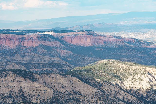
After the marmots and a talk by one of the park rangers, Anne needed to see the rest of Bryce. As I explained in an earlier blog, Bryce Canyon is not a true canyon but rather a cliff face which is being eroded back by the action of frost and water. As you drive the length of Bryce there are stopping points where there are scenic overviews. These are mainly amphitheatres where for some reason a bite has been taken out of the side of the cliff, and erosion has created the dramatic hoodoo formations.
The road and the Canyon finish in the south at Yovimpa Point and this is where we started. I did not take a large number of pictures as I had already done that on my previous visit with Mike, so I will just show a few. We ended the day at Bryce Point, as the sun was setting. Bryce is not the best place for sunset as it faces east, but I gave it a go! The clouds became quite heavy as the sun set but cleared in the 'blue hour'.
 |
| Yovimpa Point |
 |
| The Backpacker, Agua Canyon |
 |
| The Rabbit, Agua Canyon |
 |
| Natural Bridge |
 |
| Bryce Point |
 |
| Bryce Canyon map courtesy of the US National Park Service |


Comments
Post a Comment