Road to the isles, 6th July, an abandoned village
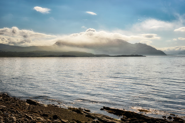
Waking up in the morning on our campsite in Kilchoan, I walked down to the shore to see cloud covering the tip of the coast.
The path crosses a shallow river by a set of stepping stones and we saw an adder which moved too fast for me to photograph, and a large beetle.
Having regained the road we drove down to the coast at Sanna, stopping to take some pictures from a vantage point. The mountains in the very background are the Cuillins.
The plan for the morning was to visit the deserted village at Glendrian which lies about a mile across a footpath from the road. Just the right distance for Hettie the dog to manage.
We took the road to Sanna and stopped in a lay-by by a small quarry, then took the path. The area is ringed by a row of hills, the site of an ancient caldera. The map reference os NM480687
The settlement was only abandoned in the 1940's so the desertion was not on account of the clearances. It is a scheduled monument and contains 19 houses as well as a number of farm buildings. In it's isolated position snuggled up under the hill it was certainly photogenic and I will put some infrared pictures of Glendrian on my next blog. The last 2 colour pictures in this set below were taken by Alan from the top of the hill, so I am making a rare appearance. The footpath carries on to the sea and it looked a lovely walk but too far for us.
Having regained the road we drove down to the coast at Sanna, stopping to take some pictures from a vantage point. The mountains in the very background are the Cuillins.
It was busy in Sanna so we decided that it was time to leave Ardnamurchin and move up towards Fort William. We stopped briefly on the way to look over Loch Sunart and then at the RSPB reserve at Glenborrodale. Apart from that it was hard driving until we reached the coast at Arisaig. We found a campsite and settled down to a night of pouring rain.


Comments
Post a Comment