Inca Trail - Day 2 Dead Woman's Pass to Chaquicocha


I felt a lot better for my long sleep and Mairi was fitter too. We started to climb up to Dead Women's pass or Abra de Warmiwanusca. It took around 2 hours to get there and was pretty steep. At that altitude (the top is at 4,200m) I found myself getting breathless and my leg muscles felt that they were not getting enough oxygen to them. I had always been a little nervous of this ascent, only because of the name and the fact that Mairi had wanted to do the Inca trail about 5 years ago, and when I saw that part of the trail was called dead woman, I refused. Now here am I older still ....
On the way we passed llamas.


We were walking up through cloud forest, with some sensational views. Mairi stuck with me and let me rest from time to time to get the oxygen back into my legs.

 |
| The view back towards Veronica |
 |
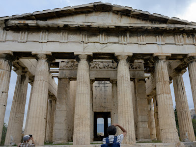
| Dead Women's Pass |


Mairi and Naomi and also our friends from Boston wanted their picture taken at the top.


And also on the way down! We had climbed 1,100m to get there!


We descended for 800m to the Pacamayo river and a campsite with the same name where we had yet another excellent lunch. The stone path here is recent as there have been landslides on this section.


After lunch there was another stiff climb up to the second pass Abra de Runcu Raccay at 3950m. Again there were some very good views on the way up.


 |
| Chaskis coming up with Saul and Irving on the right |

The pass is named after a circular Inca ruin which lies about an hour up. No one is sure what the purpose of this building was - it was probably multifunctional. The main building is round which implies a religious use but it also occupies a very strategic position
 |
| Coming in to Runcu Raccay |
 |
| Saul doing his guiding for us at Runcu Raccay |
The path on this section of the trail is not Inca. Saul explained that the Inca king Manco Inca who was there at the time of the Spanish Invasion destroyed sections of the path so that the Spanish would not find Machu Picchu, they didn't.
 |
| Runco Raccay from above |
Before we got to the actual summit we passed a couple of tarns. The first had a mother and baby deer next to it.
 |
| The tarn with small deer |
 |
| View from this part of the trail |


We then passed by a lake covered in algae, but with views over towards Pumasillo (6072m) and the Vilcabamba range, if it had not have been so misty!


 |
| On the way we passed through a short tunnel |
 |
| Sayac Marca can be seen in the distance |
By the time we got there the ruins were filled with mist. Saul said that the purpose of this Inca site was not really known. The stone work was of better quality that Runcu Raccay, but not as good as Machu Picchu. It lies on the junction of two Inca trails - the second going down through the jungle over the River Aobamba. Saul suggested this might have been the site of an Inca market where goods would be exchanged between the high Andes and the jungle.


We finally passed another small set of Inca ruins Concho Marca, but by then it was practically dark, and soon reached the campsite at Chaquicocha (3,600m). We had another good dinner, and a chilly night, but it was unfortunately Naomi's turn to not feel at her best.


Comments
Post a Comment